We use cookies on our website and you can manage these via your browser setting at any time. See our Cookie Policy to learn more.
To review our Privacy Policy, including our obligations under the General Data Protection Regulation, please see our Privacy Policy
PARENTS: Please note that you should allow cookies in order to log into the Parent Area. Further information
Pupils create Missing Maps for crises areas
Published: 4 February 2016
A3 Geography pupils have recently been involved in a Missing Maps vaccination project in Nigeria.
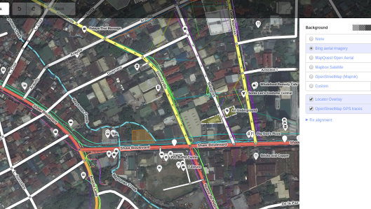 NGOs and other organisations need maps to carry out relief and development work overseas, often in countries where a national mapping agency is an unjustifiable luxury. This is where Missing Maps comes in.
Bryanston's A3 geography pupils have been involved and mapped an area for a vaccination project in Nigeria, buildings in a remote part of earthquake-prone Nepal and streets and lanes in a city in Gabon. While it is slow work, the aim is to hold a Mapathon at a later date, where a larger number of pupils will get together and complete one of the many mapping tasks on the Missing Maps task manager.
The Missing Maps project is a crowdsourcing enterprise supported by Medecins Sans Frontieres, The Red Cross and The American Red Cross. The aim is to use up-to-date satellite imagery to create a backdrop which can be traced, so that roads and buildings can be mapped. The tracings are then saved to Openstreetmap for moderating and used to create maps for use by various agencies.